Grand Avenue Field Notes
Mackay Mine Hill and the White Knob Mining District: a self-guided tour
Above Mackay, a road climbs 8.5 miles of switchbacks onto the flank of the White Knob range and ends in one of Idaho’s most intact early-twentieth-century copper districts: buildings, tramway remnants, a compressor house and miles of workings, all still with active mining in the same ground. The BLM runs it as a motorized tour area and publishes a map that grades every route by what can legally and physically travel it, which makes this an unusual historic site: the first job is choosing the route that matches your vehicle. The second is remembering that old mine openings and active workings are dangerous even when they look quiet from the road.
Jump to trip essentials- Region
- White Knob Mining District above Mackay, Idaho
- Season
- Late spring through late fall, subject to snow, mud, fire and mining closures
- Category
- Mining history
Before you go
- Follow the latest BLM map, gates and onsite notices. An older route, photograph, GPS track or trip report does not establish current access.
- Route classes: green is rough but maintained gravel open to all transportation modes; blue excludes low-clearance automobiles; red is for ATVs, bicycles, dirt bikes, horses and hikers only.
- Active private mining continues in parts of the area. Some routes and interpretive sites are no longer accessible and additional temporary closures may occur.
- Hazards: steep roads, narrow routes with two-way traffic, loose rock, mine openings, unstable structures, active mining, snow, mud, fire and weak communications.
- Visit Idaho recommends late spring through late fall as the typical visiting period; there is no fixed all-routes-open season.
Signed tour route above Mackay
Mine Hill Road above Mackay, Lost River Valley; the tour area sits on the west flank of the White Knob range.
View on OpenStreetMapWhat happened on this hill
The White Knob district produced copper, lead, zinc, silver and gold out of a skarn contact zone, and at its height in the 1910s and 1920s it was one of the significant copper operations in Idaho. Visit Idaho reports that the mine entered production in 1916 and included major tunnels measuring about 875 and 1,225 feet, extracting millions of pounds of lead and more than a million pounds of zinc along with copper, silver and gold, with a nearby sawmill supplying lumber from 1912.
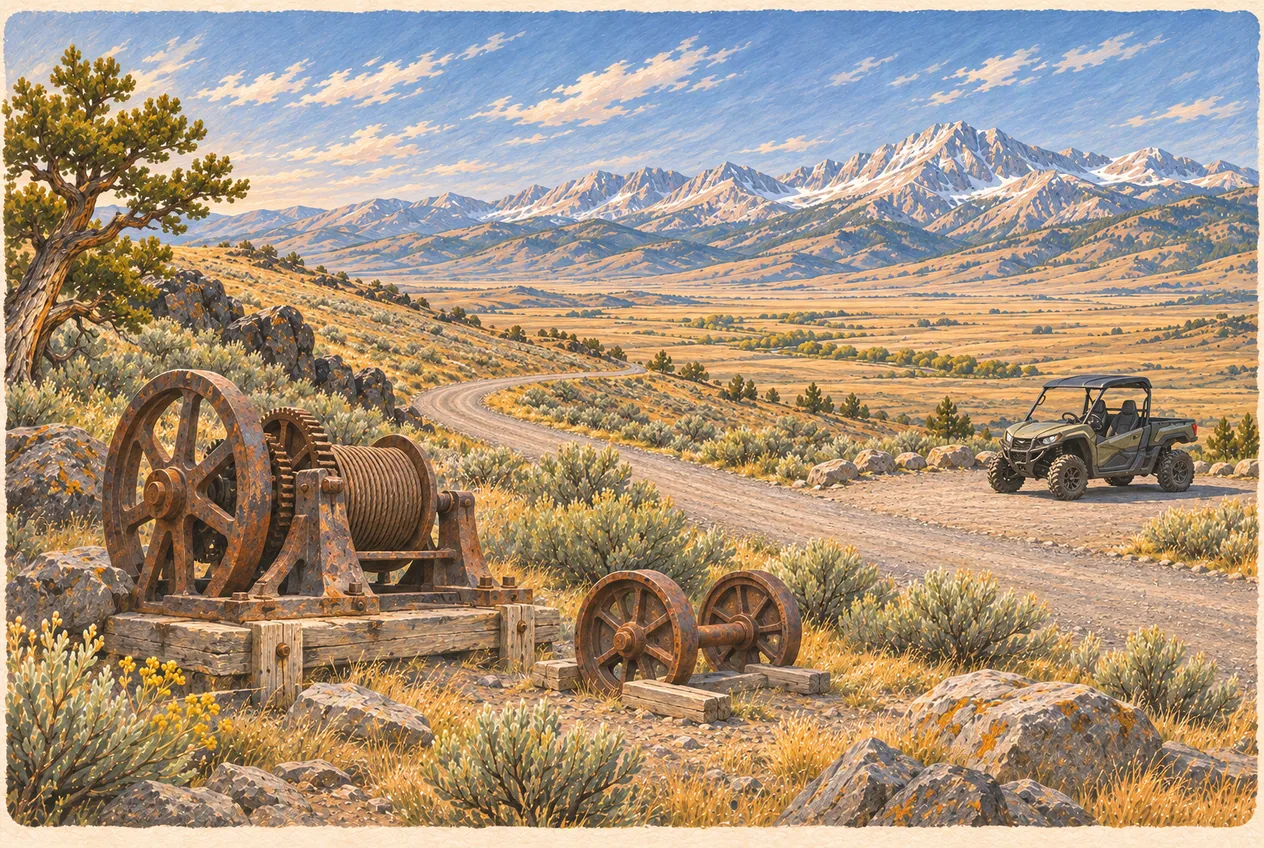
What remains above ground is a compressor building that supplied drilling and underground work, foundations, tramway and hoist remnants and the historic camp, set against the mountain above Mackay. Interpretive materials have historically described as many as 19 sites; the current BLM map shows a reduced set of publicly accessible interpretive locations than some older maps, because active mining and closures have taken some of them out.
Green, blue and red: choosing your route
The BLM map for the tour area classifies routes, and the district’s published descriptions use three colours that decide the trip before you leave Mackay.
- Green Route: rough but maintained gravel roads open to all transportation modes. Roughly speaking this is the low-impact option, though conditions can still make portions unsuitable for a low-clearance car.
- Blue Route: open to all transportation modes except low-clearance automobiles, with portions that BLM warns are rough, steep and narrow. A normal sedan and a wide side-by-side do not qualify just because they can physically enter the first hundred yards.
- Red Route: open only to the vehicle and nonmotorized types named on the current BLM map. Check the posted width limit for each trail; do not assume a side-by-side fits.
“Open to all transportation modes” is a legal statement about a route, not a promise about surface conditions. And the reverse also holds: a route being open to a truck does not make it appropriate for the rig you brought.
Closures, active mining and gates
The single most important fact about Mine Hill is that this is a working district, not a museum. The BLM warns that continuing mining operations have made some routes and interpretive sites inaccessible and that additional temporary closures can occur, and the published tour maps have changed as a result. Gates marked no access and active-mining closures are to be obeyed, not walked around.
Seasonal reality on top of that: snow and mud close the upper road long before and long after the nominal visiting season, fire can close the district on a hot afternoon, and road damage from winter and from haul trucks changes what is passable year to year. Download the current map before leaving cell coverage, and treat any route you cannot find on it as closed. Registration, road-use, helmet, licence, insurance, spark-arrester and equipment requirements depend on the vehicle and on whether you are on BLM ground or a county road getting there.
Mine openings and structures: the lethal part
Every old opening on this hill should be treated as a closed and dangerous industrial site, including the tunnel at the compressor building, which is a vertical or near-vertical entrance rather than a walkable adit. Abandoned mine workings routinely contain bad air, unstable rock, hidden vertical shafts, standing water and, in districts with this history, leftover explosives. There is no version of this visit where entering a mine is acceptable, and there is no photo worth the rescue it would require on ground at this elevation.
The same logic covers the surface structures: rotting timbers, rusty nails, open raises and foundations with holes in them. Photograph them, keep children and dogs beside you, and leave the material in place. Removing artifacts from a historic district on public land is also a legal problem, not just an etiquette one.
Do not hammer into a road cut or remove material from a claim. Highway rights-of-way are not open quarries, and the district contains active claims; the rockhounding guide covers what collecting rules actually permit.
How to run the day
Approach from Mackay rather than trying to enter from the high country, and expect 8.5 miles of switchbacks to reach the district from the valley floor. Visit Idaho recommends late spring through late fall as the general window, and for most people the green route with a walk around the publicly accessible historic sites is the whole visit: two to four hours at an easy pace, more with a camera.
Bikes are allowed on routes open to bicycles, and riders should prepare for steep grades, loose surfaces, dust, motorized traffic and no water. Carry your own drinking water and fuel in the valley: there are no services on the hill, and communications are weak to nonexistent. A passenger vehicle that gets stuck blocks a two-way route used by haul traffic and by machines far more capable than yours.
Winter is a different activity: the Forest Service lists snowmobiling and sledding among recreation opportunities in the wider area, but winter travel here requires separate route confirmation, avalanche awareness, snowmobile registration and its own planning. Do not read a summer route designation as a winter route.
Hunters note: a route open to recreational OHV use may be unavailable for motorized big-game hunting under Idaho’s Motorized Hunting Rule. An open ATV route does not create hunting access.
Before or after: Mackay and Arco
Mackay is the last place with gas and groceries before the hill, so fuel up there. The town is also worth an hour in its own right, with its old commercial strip and its position at the mouth of the canyon that produced it. Then it is 21 miles back to Arco on US-93, where Club Sawtooth at 156 W Grand Ave, open daily from 2pm, is the logical end to a dusty day. Beer and wine go to go under the current license; keep containers sealed in the vehicle as Idaho law requires and open them at camp.
Frequently asked questions
Can my car drive up Mine Hill?
Depends on the route. Green routes are rough but maintained gravel open to all transportation modes, though conditions can still suit low-clearance cars badly. Blue routes exclude low-clearance automobiles and BLM warns portions are rough, steep and narrow. Red routes are limited to ATVs, bicycles, dirt bikes, horses and hikers.
Are all the historic sites still accessible?
No. The BLM warns that ongoing mining operations have closed some trails and interpretive sites, and additional temporary closures may occur. Current maps show fewer publicly accessible points than older ones, so follow the latest BLM map, gates and onsite notices.
Can I go into a mine or take a souvenir?
No. Abandoned mine openings can contain bad air, unstable rock, vertical shafts, water and explosives. Historic material on public land should be left in place; treat sites as observation-only.
When is the best time to visit?
Visit Idaho recommends late spring through late fall as the general visiting period, but actual access depends on snow, mud, active mining and private-road closures. There is no fixed all-routes-open season to assume.
Sources and updates
Check current access, hours and conditions before setting out.