Grand Avenue Field Notes
Hiking near Arco, Idaho: lava walks to Lost River scrambles
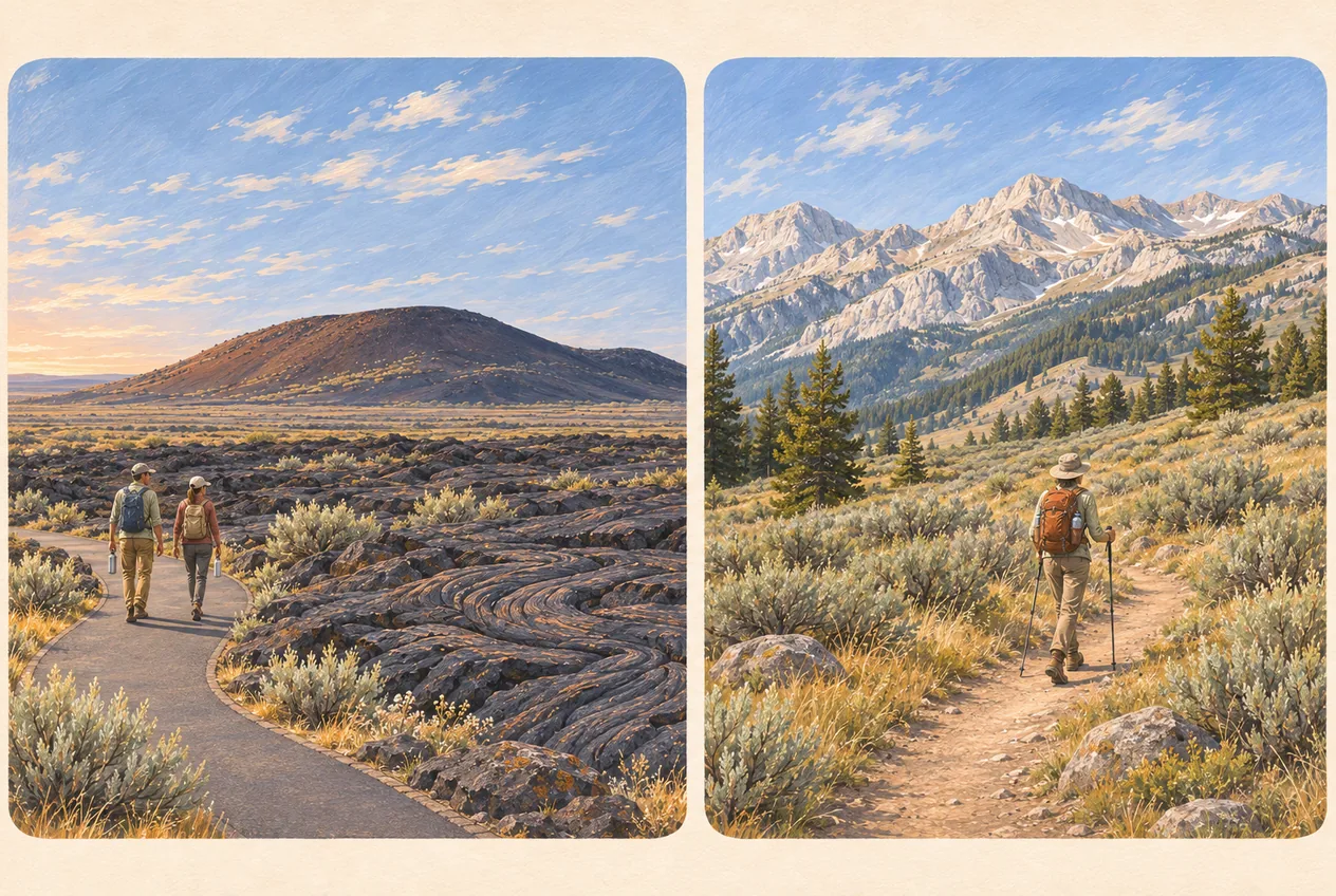
Arco sits between very different hiking areas. Southwest of town, developed trails cross the cinder cones and lava fields of Craters of the Moon. North along the Lost River Valley, the Lost River Range rises toward Mount Borah; west and northwest, King Mountain, Arco Pass and Copper Basin lead into sagebrush foothills, limestone and the Pioneer Mountains. A quarter-mile paved walk and a climb gaining more than 5,000 feet are both in this guide, but they require entirely different preparation. Check the exact trailhead and road instead of navigating to a general mountain pin.
Jump to trip essentials- Region
- Arco, Idaho
- Season
- May to October; winter access changes
- Category
- Hiking
Before you go
- Developed Craters trails range from about 0.25 to 3.5 miles. Carry water from the visitor center; there is none along the Loop Road.
- Craters requires a free permit for overnight wilderness travel and day use of the park’s North End; entering open caves requires a separate free in-person permit.
- Pets are not allowed on Craters trails or in the backcountry. Verify pet rules and current access for each Forest Service route.
- King Mountain Natural Arch is a nonmotorized trail: no ATVs, UTVs or motorcycles on it.
- Trail status, Forest Service road access and fire restrictions change with little warning. Check before leaving town.
Regional guide; verify the specific trailhead
Craters of the Moon southwest of Arco; King Mountain to the west; Lost River Range north and Copper Basin northwest.
The lava walks at Craters of the Moon
These are the trails that suit almost everyone, and they are all reached from the paved loop road about 18 miles southwest of Arco. North Crater Flow is a quarter-mile walk onto the youngest lava in the monument, a good first taste for people who have never stepped on a lava field. Devil’s Orchard is half a mile, easy and accessible, and it is the best choice with mixed-ability groups because the interpretive signs explain why the lava looks like a storm of black waves.
Spatter Cones is another short developed stop. Inferno Cone is about half a mile round trip up loose cinder, rewarding the climb with wide lava-field views. Broken Top Loop runs about 1.8 miles through varied volcanic terrain, and Tree Molds is about 2 miles round trip to lava-cast impressions of former trees. North Crater Trail is about 3.5 miles between the North Crater and Spatter Cones areas; check the route and whether you need a shuttle or must return on foot before calling it a 3.5-mile outing. Stay on developed paths and out of unmarked cave openings.
Do not enter a cave-like opening unless the National Park Service lists that cave as open and you hold the free permit issued in person at the visitor center.
Foothills, arches and forest
West of town in the Arco Pass area, King Mountain Natural Arch Trail 4343 is about half a mile each way to a view of an approximately 80-foot limestone arch. It climbs through open sagebrush on loose ground, with no drinking water; the access road may be muddy or snow-covered. Follow the current Forest Service directions to the trailhead rather than navigating to the arch itself. The trail is nonmotorized. Our King Mountain gliding guide describes a separate, advanced flying launch; do not mistake it for the arch trailhead.
Copper Basin in the Pioneer Mountains offers longer days, not a single trailhead. Broad Canyon has trail connections and a small campground; Wildhorse Canyon has a developed campground and nearby trails, while Lake Creek has four campsites and a vault toilet in open sagebrush. Star Hope has around 21 units and seasonal potable water from hand pumps near the creek. Identify the actual trailhead, follow current Forest Service directions for unpaved access roads, download maps, fill the fuel tank and tell someone your return time. Treat hand-pump water as seasonal and natural water as needing treatment; never count on a mapped creek to be flowing.
The serious end of the list
Mount Borah, at 12,662 feet the highest point in Idaho, is reached from the Lost River Valley and is a mountaineering objective, not a hike. Its standard Southwest Ridge route gains 5,262 feet in about 3.5 miles and includes the exposed scrambling of Chicken Out Ridge. It has its own guide for that reason: Mount Borah climbing guide.
The Craters of the Moon Wilderness is the other step up. A free permit is required to travel overnight in it and for day use of the park’s North End, groups are limited, pets and bicycles are prohibited, and the wilderness caves stay closed. Lava Trees, roughly 4 miles to the feature by the wilderness trail, is a strenuous backcountry outing rather than a walk.
What kills the good day
Water. Lava rock radiates heat, there is little shade on the cinder cones and no water along the trails, so even a short walk can be hazardous in summer. Fill up at the visitor center before entering the Loop Road; carry more than the distance suggests. For cramps, nausea, headache or weakness, stop, get to shade, cool down and do not push on to another viewpoint.
Lightning is the second one. Afternoon thunderstorms build over the ranges in summer, and a cinder cone summit or an exposed ridge is the worst place to be when one arrives. Start early, watch the western sky, and be off exposed ground well before afternoon.
Third is the shared-use problem. Many routes around Arco are shared with bikes and, on Forest Service roads, with motorized traffic. On the King Mountain arch trail, motorized use is prohibited by the Forest Service; the Motor Vehicle Use Map decides which other routes are open to motors. If a route is not on the current MVUM, it is not open to your vehicle. Give other users room to pass where safe, and do not assume a driver can see you around a blind bend.
Winter changes the list
Snowshoeing and cross-country skiing replace walking on some of the same routes, including closed sections of the Craters loop road when conditions allow, where vehicle access, facilities and caves are limited or shut. See winter activities near Arco for what actually stays reachable.
After the hiking
Number Hill is visible from town and takes five minutes to appreciate, so it is the easy way to give a hiking day an Arco ending. Club Sawtooth at 156 W Grand Ave is where people compare photos, argue about which cone was steeper and queue for the dart board. Come after the driving is finished, and pick one person to stay sober for the drive back to the campground.
Frequently asked questions
What is the easiest hike near Arco worth doing?
Devil’s Orchard at Craters of the Moon: about half a mile, easy and accessible, with interpretive signs and a memorable lava landscape. North Crater Flow is even shorter at a quarter mile and is the best first lava walk.
Do I need a permit to hike near Arco?
Not for the developed Craters trails, though the monument charges an entrance fee. You do need a free permit for overnight travel in the Craters of the Moon Wilderness and for day use of the park’s North End, and a free in-person cave permit to enter any cave that is listed open.
Can I hike Number Hill?
View it from a public place in town. Our Number Hill pin marks the hillside only; it is not a trailhead, and there is no maintained route or established public access up the slope.
Can I bring my dog on the trails?
Craters of the Moon does not allow pets on trails or in backcountry areas. Rules on Forest Service routes differ; check the specific trail, and prepare for livestock, heat and wildlife before bringing a dog.
How should I plan a Copper Basin hike?
Choose a named trailhead such as Broad Canyon, Wildhorse Canyon or Lake Creek rather than a generic Copper Basin map point. Check the Forest Service road and trail status, save offline maps, bring drinking water and fuel, and tell someone your intended route and return time.
Sources and updates
Check current access, hours and conditions before setting out.